(Korean) Detection of Unauthorized Facilities Occupying on the National and Public Land Using Spatial Data
Abstract
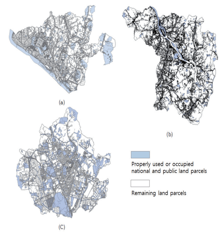
This study has proposed a methodology to detect suspicious facilities that occupy national and public land by using the cadastral and digital maps. First, we constructed a spatial database of national & public land based on the cadastral maps by linking its management ledger. Using the PNU (Parcel Number) code as a key field, the data managed by different institutions are integrated into a single spatial information DB (database) and then, the use or nonuse state of each parcel is confirmed on the cadastral map. Next, we explored the suspicious facilities that existed in the unused parcel by utilizing the digital topographical map. Then, the proposed methodology was applied for various regions and tested its feasibility. Through this study, it will be possible to improve the utilization of digital maps and to manage the national and public land efficiently and economically.
Seongyong Kim
Graduate Research Assistant
I’m a grad student in CEE at Gatech. My research interests include consturction automation, 3D scene understanding, GIS.